top of page


1/1
Aerial Data Collection & Geospatial Solutions
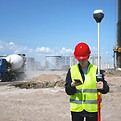
RTK drone mapping, LiDAR, multispectral imaging, construction monitoring, and survey support services throughout California.


Industries Served

Construction & Developement

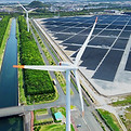
Agriculture & Research
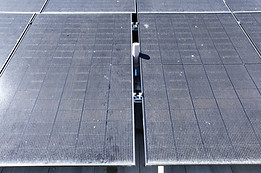
Surveying & Engineering
Utilities & Infrastructure

Environmental Projects

Public Agencies
FAA Part 107 Certified
RTK-Enabled Operations
Fully Insured
Veteran Owned Business
Serving California

bottom of page